Smart weather monitor for the frontline
Critical Real-Time Data
ANEMOS keeps your frontline safe with real time alerts and continuous logging.
No manual readings, no missed data, and it’s all ready for export to predictive models and reports.



Relative Humidity
AQI


Ignition Point
Dew Point
Temperature
Wind
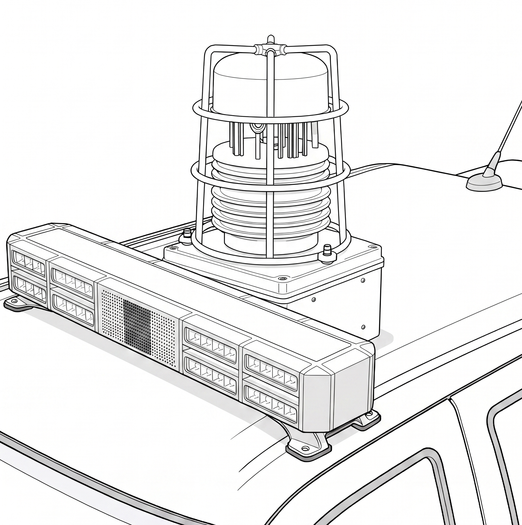
Vehicle Mount
Mounts securely to any ground vehicle roof with quick-release pins.
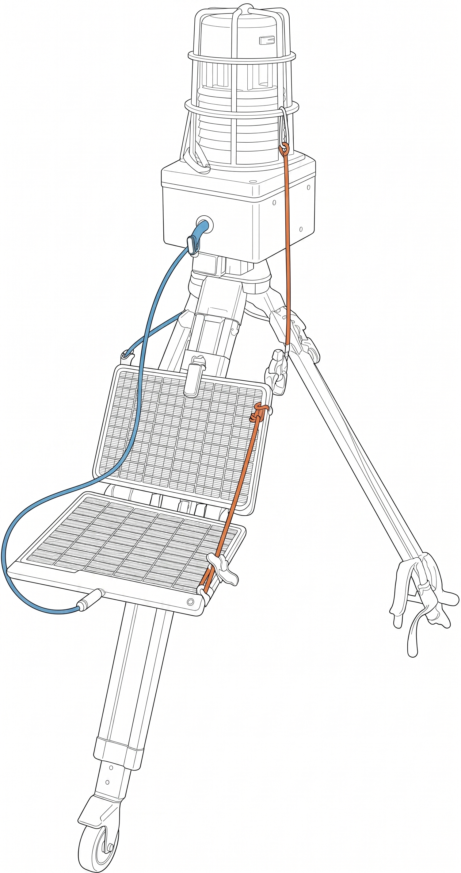
Tripod + Solar
Mounts to a rugged tripod with a solar panel attachment to last in the field.
Live Map and Alerts
Receive instant alerts to sudden and dangerous shifts in wind and other weather behavior.

Export Data
Easily export data for effortless integration with predictive wildfire models and workers’ comp reports.
Built for the Wildlands
About the ANEMOS
-
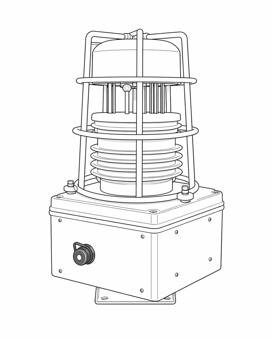
This rugged, vehicle-mounted weather station continuously samples environmental data every 10 seconds and transmits it in real time to the vehicle’s onboard iPad/MDT. The unit is secured with a quick-release roof mount to any ground vehicle and operates hands-free, capturing wind and weather data that is instantly shared across team devices and stored in the cloud.
Recharge easily via USB Type A cable (24hrs battery life on ~3hrs charge).
-
Teams
Easily set up teams for data to sync automatically to a single cloud database. Data will transfer and refresh regularly as it is sampled when signal is available to be usable by all team members (or as defined by the team lead)
Data can also be shared cross-teams readily when collaborating in the field. Access can be scoped to the single event or geo-based.
In the Field
Data is sampled every 10s, and critical shifts in conditions trigger immediate alerts.Firefighters receive real-time alerts for sudden wind, temperature, and humidity shifts, helping them respond faster to emerging threats.
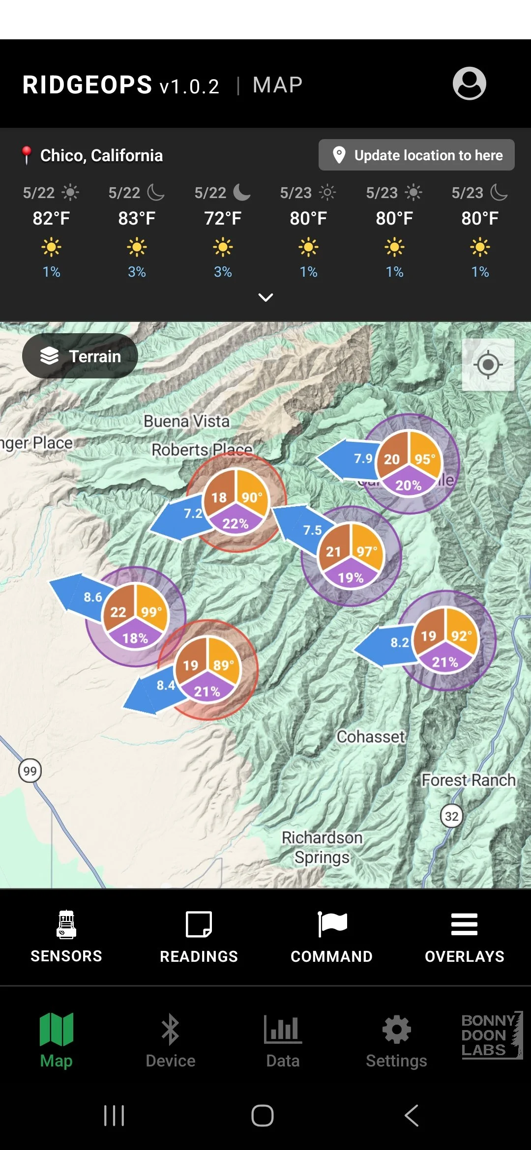
Live data is viewable on a shared map and synced automatically when signal is available.
Exporting Data for Predictive Models
Teams can export historical data seamlessly into wildfire prediction models for smarter decision-making. Data is readily exportable in customizable formats (CSV, JSON, GRIB, NetCDF, XLSX). Data can also be accessed through the API.
Data for Worker's’ Comp Reports
Air quality data (PM 2.5 and PM 10) at a firefighter’s operational and overnight locations can be grabbed to round out workers’ comp reports.
API
RESTful API for other software to integrate and use sensor data on their own maps if you enable permissions. -
Technical Specs
Dimensions
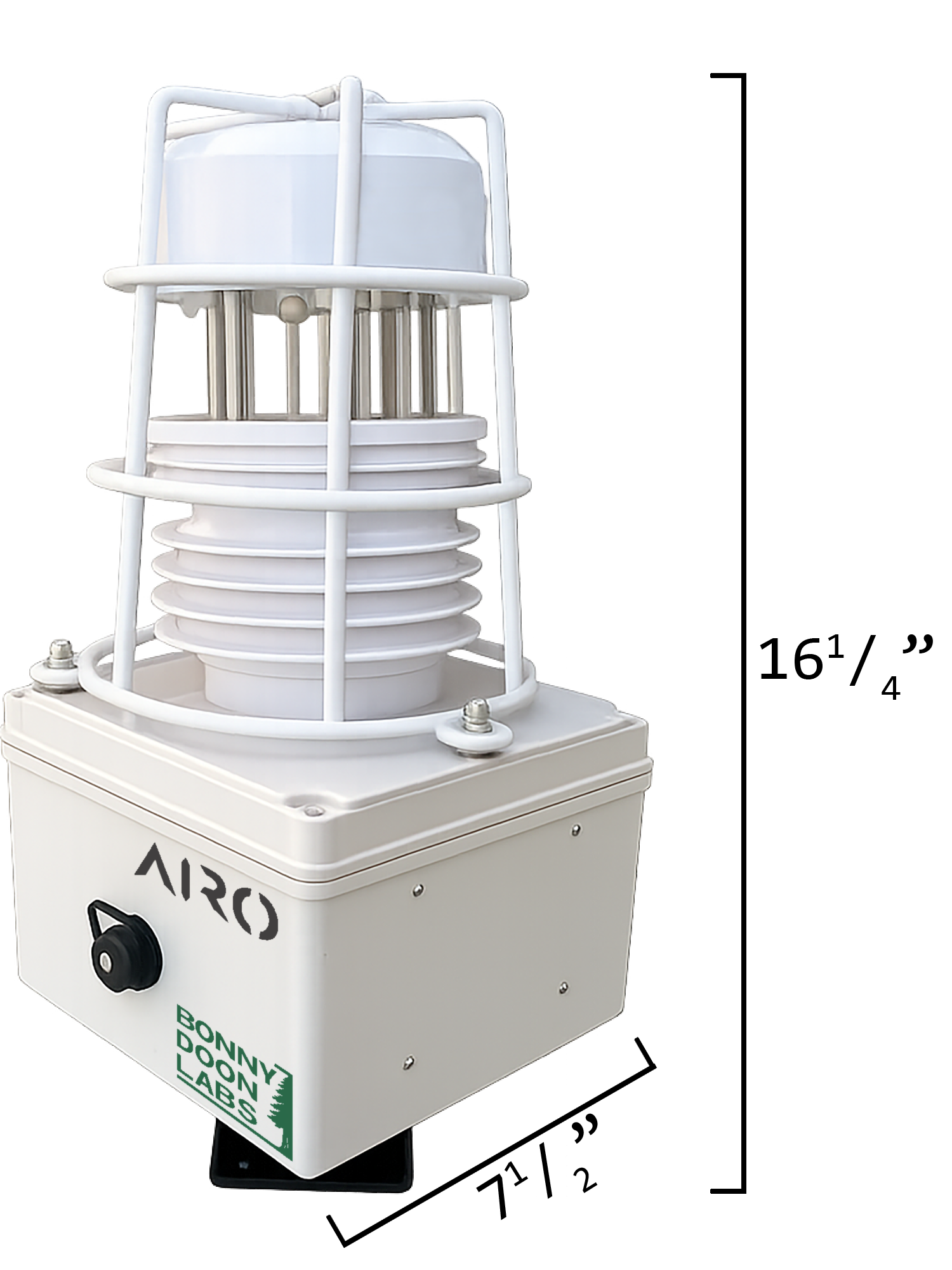
415mm (16.25”) H
191mm (7.5”) L
191mm (17.5”) WNo moving parts
Ultrasonic anemometerBattery
24hrs battery life
3hrs charging (USB Type A)Vehicle-mount & Tripod
IncludedSolar
Included and connects for charging
RANGES AND ACCURACY
(may vary under certain conditions)Wind speed
Range: 0 — 60m/s (134 mph)
Accuracy: ± 0.2m/s (± 0.5 mph)Temperature
Range: -40℃ — +120℃ (-40°F — 248°F)
Accuracy: ±0.5℃ @ 25℃ (~ ± 1°F @ 77°F)Humidity (Relative)
0%RH — 99%RH
Accuracy: ±3%RH @ 60%RH,25℃Air Quality (PM2.5 / PM10)
Range: 0 — 1,000 µg/m³
Accuracy: ±10 µg/m³Dew Point
Calculated from sensor dataIgnition Point
Calculated from sensor dataPublic Data Sources
Other public data sources are available as layers on the map.
- Topography (slope & aspect)
- Vegetation Type
- Regional Weather (wind, temp, humidity)
- Active Fire Hotspots
- Official Fire Perimeters -
Launched!
Products available for purchase.** Prototypes available for testing
We’re currently testing with wildland departments. If you’d like to trial some FREE units, please reach out ASAP. -
Purchase cost: $999 per unit*
Tripod with solar: $100 addition
Cellular plan: Not includedOrganization account: $100/mo
App subscription: $4.99/mo per app
RidgeOps: The app
-
The app connects and manages sensors directly and within the org. View sensor data in real-time and get critical alerts to dangerously changing conditions
-
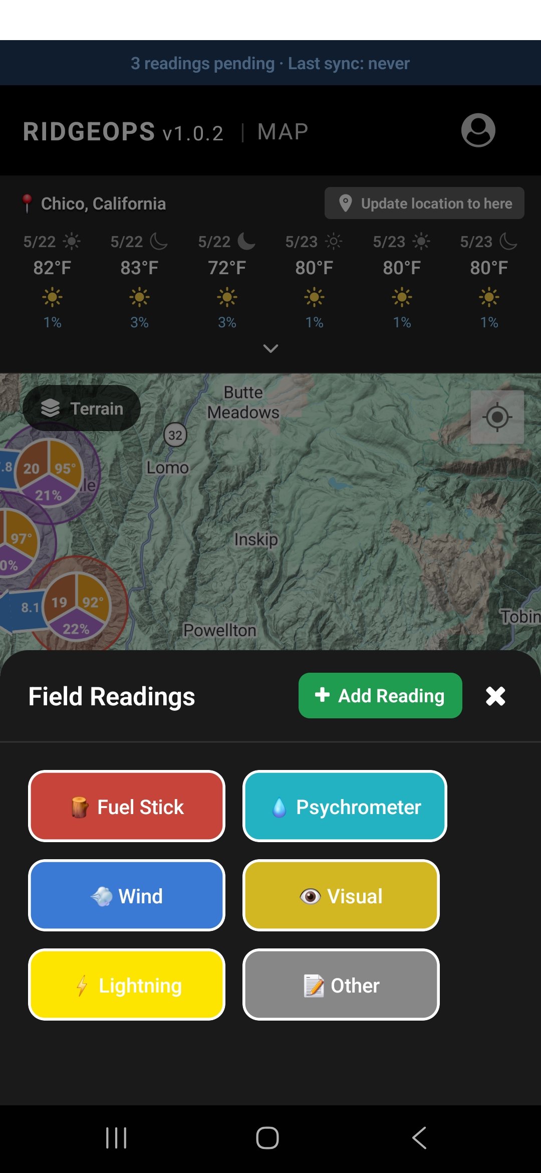
Easily add manual readings to the org’s map, which will be geo-tagged and fade over time. These include:
Fuel stick
Psychrometer
Anemomoter
Visual
Lightning
Other
-
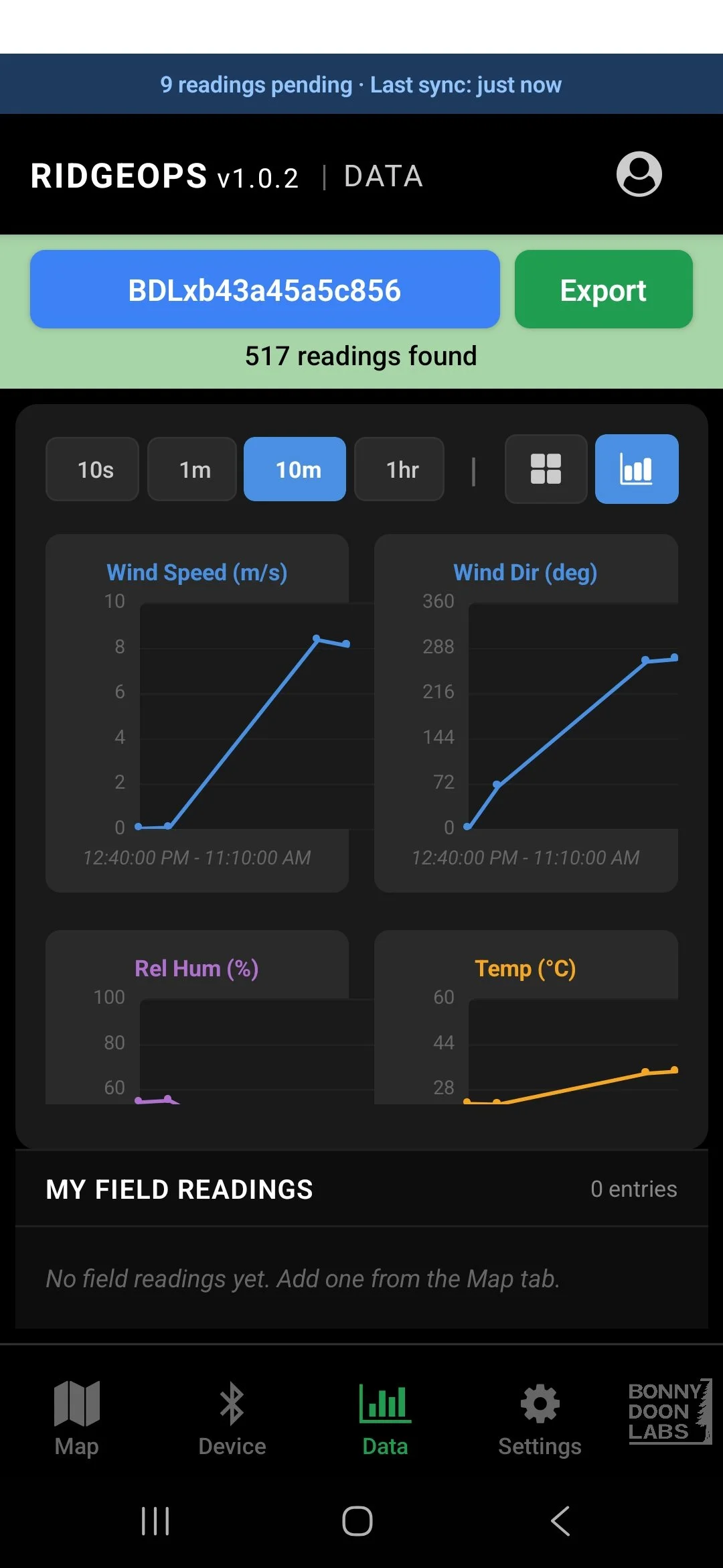
All sensor and manual reading data can be downloaded or exported in a variety of formats, from CSVs to standard FD report formats. Furthermore, all the data is accessible via API for integration with other apps.
-
RidgeOps pulls national database data for a variety of useful map overlays:
Precipitation Radar
FIRMS Hotspots
WFIGs Perimeters
Red Flag Warnings
Lightning Warnings
Temperature (regional)
Wind (atmospheric)
-
A variety of tools are available to communicate operations details to the team (top-down, or approve field team additions). These include everything including:
Spot: hazard, team, and engine spot locations
Lines: Fire perimeter and dozer lines
Zones: evac zones and fuel breaks